
Mapping a village before planting a tree
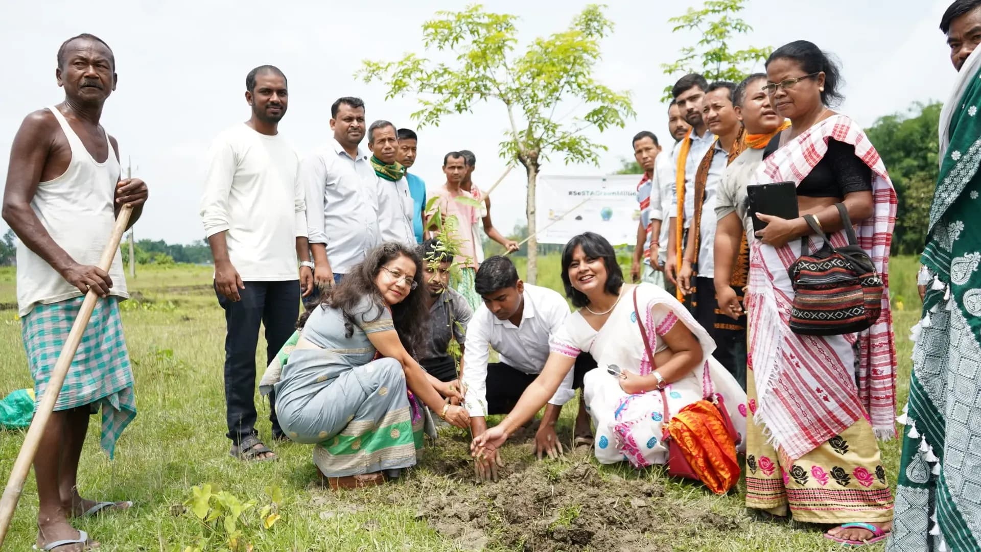
The farms we work with are on the front line of a changing climate. Our climate resilience model aims for women-led, climate-resilient and low-carbon farming landscapes, and it begins somewhere unexpected: with a map.
See the land together
Integrated natural resource management and GIS mapping help a village see its fields, forests, streams and slopes on one page, along with where floods, dry spells or erosion hit hardest.
A plan the village owns
From the map comes a Village Climate Action Plan, drawn up with the community, not for it. It sets out what to restore, where to harvest water and which practices to change.
- Adapt: agroecological practices and water harvesting on the farm.
- Restore: agroforestry that brings trees back into the farming landscape.
“A plan drawn by the people who farm the land is a plan that gets carried out.”
Keep reading
Research & Learning1 min read
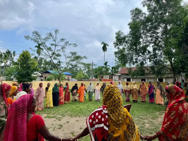
Listening before measuring: how we do participatory research
Good evidence starts with good questions, asked of the right people. A look at how our research and learning team designs, gathers and shares what it finds.
SeSTA Research & Learning
Climate & Environment2 min read
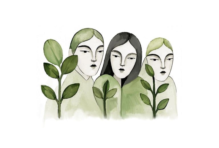
A million trees, planted by the people who will live with them
Rising heat, frequent floods and vanishing green cover are changing life in Assam. The Green Million campaign answers with one of nature’s oldest solutions, planted and cared for by communities.
SeSTA Communications Team
News & Updates1 min read
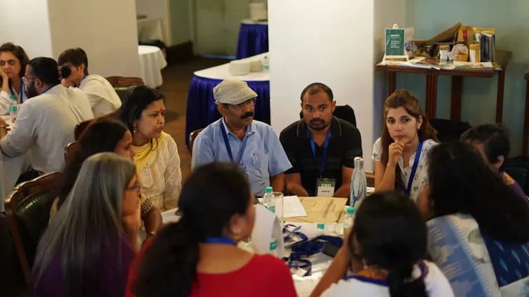
Ambition 2030: where we mean to be by the end of the decade
Three lakh households, a thousand women and youth entrepreneurs, 150 federations. The goals we have set ourselves for 2030, and why.
SeSTA Communications Team